Manila Maps and Orientation
(Manila, National Capital Region, Philippines)
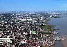
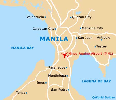
Situated alongside the westerly Manila Bay, this popular city is located on the western side of the National Capital Region. Part of the Metro Manila area, which comprises some 17 different cities and further municipalities, the city serves as the region's premier tourist hotspot and lies alongside the Roxas Boulevard.
Manila is divided into a total of 16 separate districts, the majority of which operate as towns. The city is bisected by the Pasig River, and to the north of this are the districts of Binondo, Quiapo, Sampaloc, San Miguel, San Nicolas, Santa Cruz, Santa Mesa and Tondo. South of the river are the Ermita, Intramuros, Malate, Paco, Pandacan, Port, San Andres Bukid and Santa Ana districts.
Maps and Orientation of the City
Particularly significant are both Ermita and Malate, within Manila's Tourist Belt and are filled with shops, restaurants and hotels. Ermita is known in Manila for its vibrant nightlife, while Malate is actually the Filipino gay capital and boasts an especially bohemian flavour. The Binondo district is where you will find Chinatown, and the Sampaloc area is home to the very historical University of Santo Tomas.
Maps of the city and Metro Manila are available from the office of the Department of Tourism, which is located on TM Kalaw Street in Ermita and easy to find.
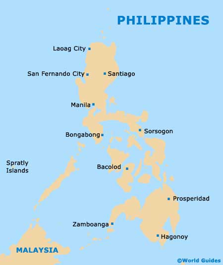
- Angeles City - north
- Antipolo City - east
- Anilao - south
- Baguio - north
- Banaue - north
- Batangas City - south
- Cabanatuan - north
- Calamba - south
- Dagupan City - north
- Lucena - south-east
- Olongapo City - west
- Quezon City - north
- Sagada - north
- San Fernando - north
- San Pablo - south-east
- Taal - south
- Tagaytay - south
Map of the Philippines
Map of Manila